CoMaps: The Offline App That Guided Rescuers Without a Signal in Venezuela
CoMaps: Navigating the Silence in Venezuela's Earthquake Response
During the chaotic aftermath of the earthquake in Venezuela, communication infrastructure collapsed. In the heart of the disaster—the area known as "ground zero"—cell signals vanished, leaving rescuers blind to the geography of the devastation.
A Critical Discovery in the Field
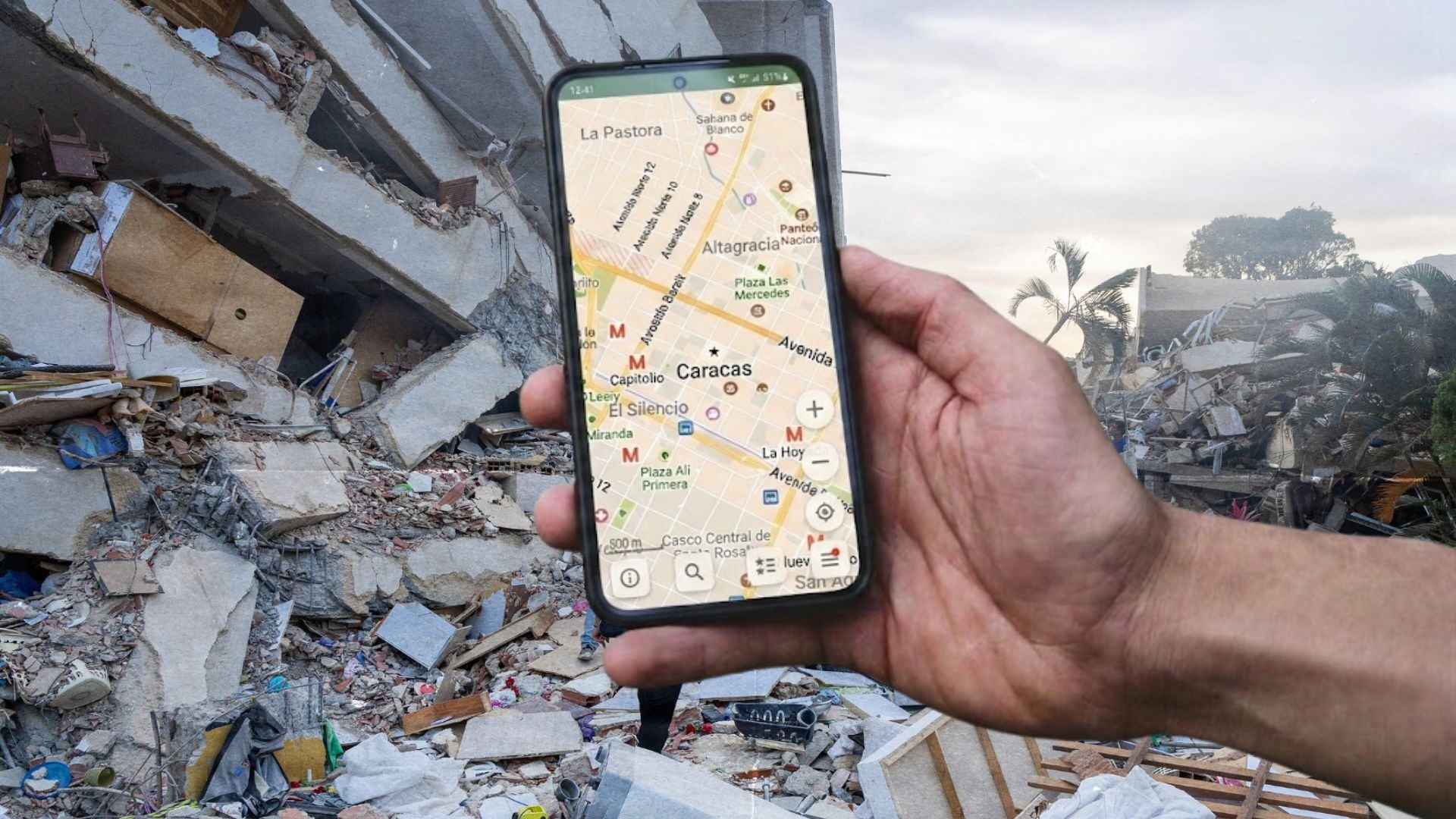
On the second day of the crisis, Anton Wenemoser ventured into these dead zones. Unlike many others, he didn't have to rely on guesswork or outdated paper charts; he had the CoMaps app installed on his device.
"CoMaps turned out to be really useful for me because I entered a zone with no coverage and needed it right away," Anton recalls.
Shortly after, Anton began assisting a specialized rescue contingent from El Salvador. This team—comprising firefighters and Civil Protection units—was operating under the guidance of a remote command center in their home country. However, a dangerous bottleneck existed: only one individual possessed a map to guide the entire group.
The Gap in Navigation Tools
Anton noticed a stark difference between his tools and those of the team's map coordinator:
- The Coordinator's App: A limited navigation tool lacking granular detail and offline capabilities.
- CoMaps: A high-detail map powered by a global community of volunteers, functioning entirely without a signal.
When Anton introduced the coordinator to CoMaps, it was described as a "discovery he loved making."
What exactly is CoMaps?
At its core, CoMaps is a non-commercial, open-source application built upon OpenStreetMap (OSM) data. Anton describes OSM as the "Wikipedia of maps"—a collaborative effort where users worldwide edit and improve geographic data.
Core Technical Specifications
| Feature | Capability |
|---|---|
| Data Source | OpenStreetMap (OSM) |
| Connectivity | 100% Offline (post-download) |
| Positioning | Phone GPS |
| Licensing | Open Source |
The Evolution of the App
For its first year, CoMaps struggled with a significant bottleneck: updating maps was a slow, cumbersome process.
Processing raw data took 10 days Now takes ~3 days.
The technical hurdle was that map updates were tied to app updates, meaning every change had to pass through the rigorous review processes of mobile app stores. To solve this, the team decoupled the two.
The Mathematical Improvement in Efficiency:
Synergy with Humanitarian OpenStreetMap (HOT)
The success in Venezuela was not an accident, but the result of a timely collaboration. In April, Anton and Bastian Greshake Tzovaras presented CoMaps to the HOT Geospatial Tech Working Group.
The team had already implemented a feature allowing users to share downloaded maps locally between devices. As Bastian notes, this wasn't a specific request from HOT, but a core part of their vision: removing the "gatekeeper" role from the developers and empowering the users.
The Data Pipeline
The following diagram illustrates how volunteer effort translated into real-world rescue guidance:
Implementation Checklist for the Venezuela Response
- Map buildings via Tasking Manager.
- Process raw OSM data into CoMaps format.
- Decouple map updates from App Store reviews.
- Deploy weekly global map refreshes.
- Provide offline access to first responders.
Expert Testimony
Emilio Mariscal, Software Engineering Manager at HOT, highlighted the critical nature of this synchronization:
"Recently, during the Venezuela Earthquake activations, I learnt that the OSM map in CoMaps is now being updated weekly... making it possible for people in Venezuela to have the thousands of buildings mapped by volunteers in the HOT's Tasking Manager available on the map for responding to the disaster."

While Bastian admits the timing was "very lucky," the infrastructure now exists to ensure that when the next disaster strikes, rescuers won't be flying blind.
Connect with the community: